News
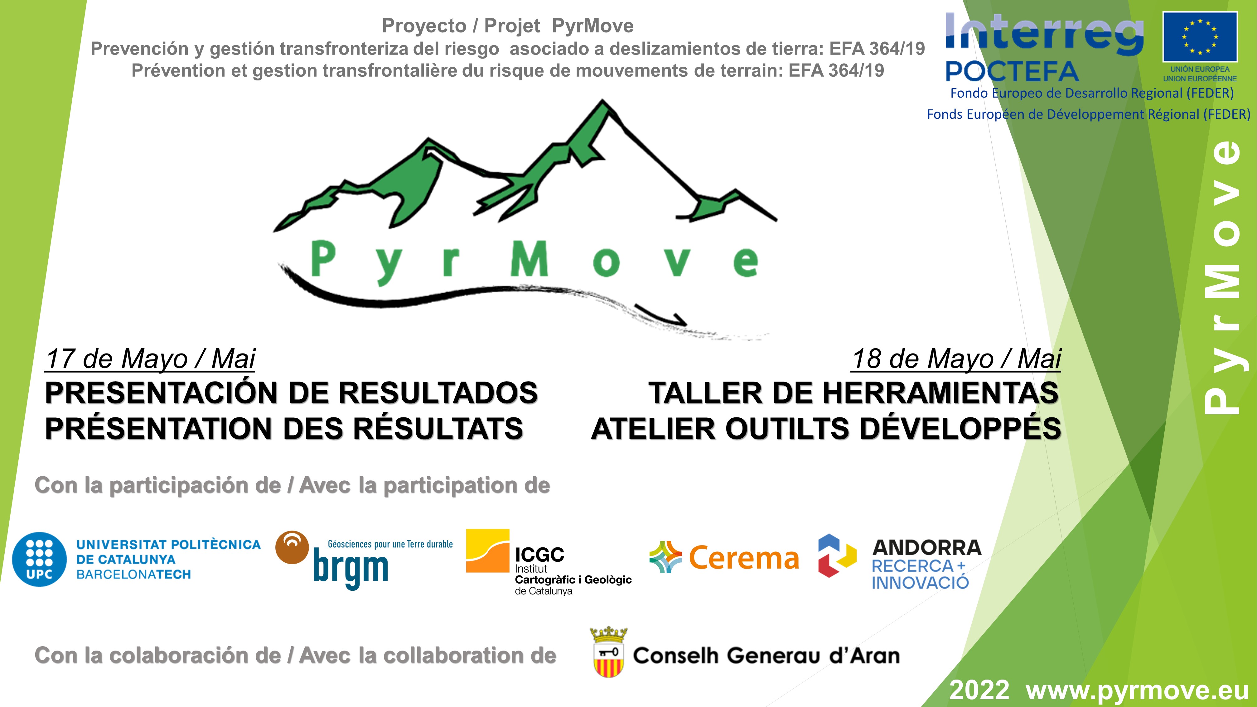
FINAL SEMINAR: RESULTS PRESENTATION & DEVELOPED TOOLS WORKSHOP
VIELHA 17-18 MAY (Face-to-face and ONLINE)
SUBSCRIBE TO THIS LINK: https://forms.gle/8njR5ezVZ4KCwVLU8
17th MAY - 12:00/14:00 - RESULTS PRESENTATION
LINK STREAMING: https://us06web.zoom.us/j/82821478881
18th May - 10:00/14:00 - WORKSHOP ABOUT TOOLS DEVELOPED
LINK STREAMING: https://us06web.zoom.us/j/87943511523 0
FILES FOR THE WORKSHOP https://drive.google.com/drive/folders/1sPVwbIzvyFr3Y9f7T13T3gl_nLMZUpLB...
PROGRAM
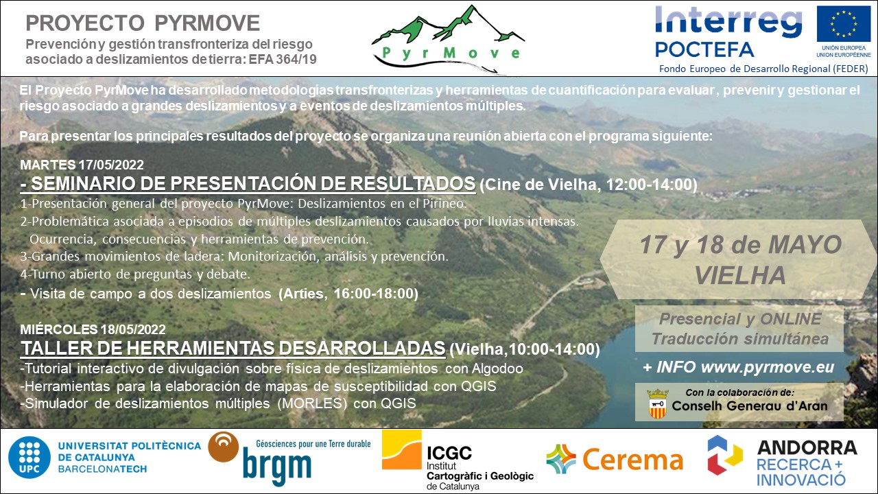
Tuesday 17th May
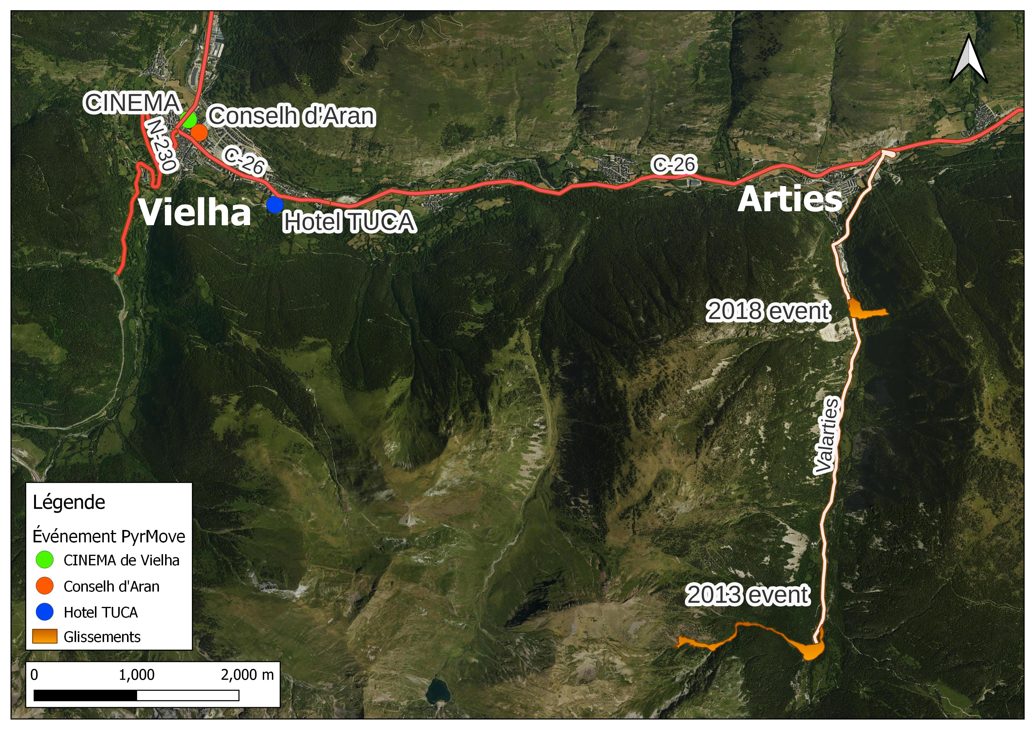
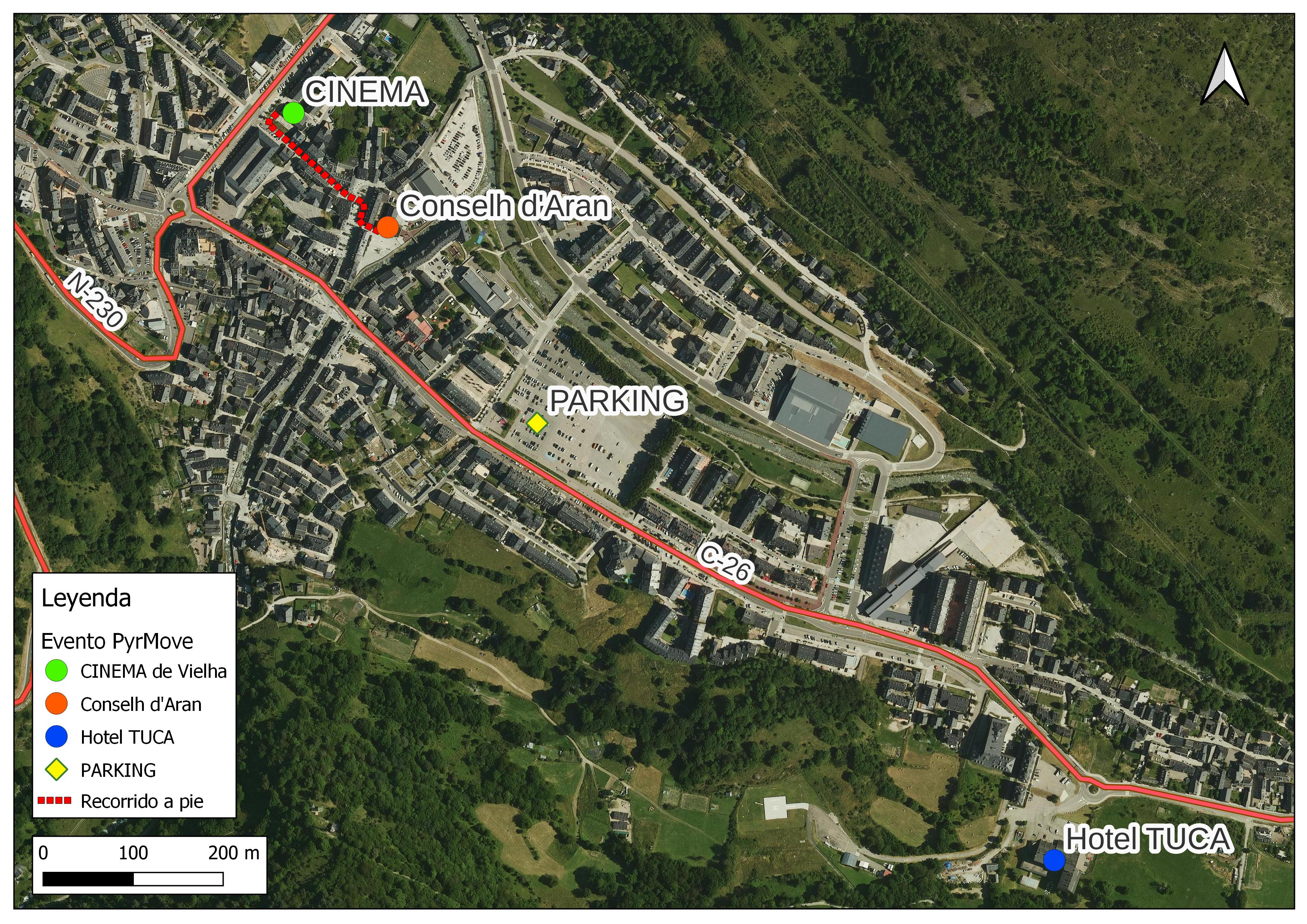
11:30 - 12: 00 Wellcome coffee break (Cinema de Vielha)
12:00 - 14:00 Results presentation seminar (Cinema de Vielha and online)
14:00 - 16:00 Lunch (restaurant to be defined)
16:00 - 18:00 Arties landslides filedtrip
Wednesday18th may
10:00 - 14: 00 Developed tools workshop (Conselh d'Aran and online)
With a coffee break during the workshop.
14:00 - 16:00 Lunch (restaurant to be defined)
SUBSCRIBE TO THIS LINK: https://forms.gle/8njR5ezVZ4KCwVLU8
Webinars on landslides monitoring for EWS (6th, 20th 27, April 2022 and 4th May 2022)
This series of webinars is organized within the framework of ‘PyrMove’ and ‘GeoRisk’ projects as part of dissemination activities. The four one-hour webinars will present new techniques that might help in landslide monitoring and modeling. These new solutions may be the base of some Early Warning Systems for controlling and managing the risk, in order to reduce damage or losses. More information and how to participate in https://pyrmove.eu/node/159
Webinars agenda
Wednesday, 6th of April, 2022. 15h-16h (CEST)
Mixed Reality tools for visualization of complex spatial data in geomechanics. Joan Roca (BGC Engineering)
Wednesday, 20th of April, 2022. 14h-15h (CEST)
Distributed fiber optic sensing for geotechnical monitoring. Werner Lienhart (T.U. Graz)
Wednesday, 27th of April, 2022. 14h-15h (CEST)
Filling the gap between monitoring and modelling in geotechnical engineering. Cristian de Santos (SAALG Geomechanics)
Wednesday, 4th of May, 2022. 14h-15h (CEST)
Slope stability monitoring using Remote IoT Technology. Àngela Lluch & Victor Salines (WorldSensing)
Joint event of POCTEFA projects:
Safer and more sustainable communitie4s. Experiences of cross-border projects in the Pyrenees (21/10/2021)
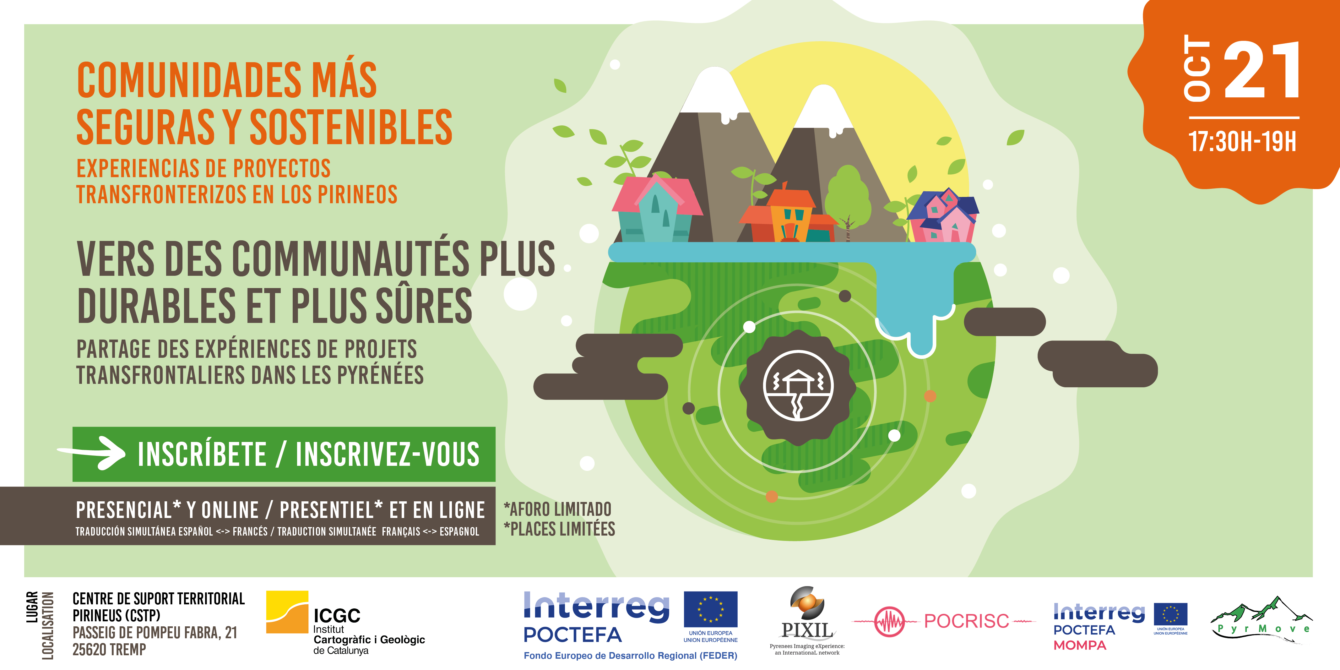
Information and inscriptions: https://www.icgc.cat/L-ICGC/Agenda/Jornada-Comunitats-mes-segures-i-sost...
The aim of this event is to present the tools implemented in the framework of four cross-border projects (Spain, France, Andorra) and discuss different aspects related to the integration of results, both from a technical point of view and management and dissemination and coordination with end users. The event is aimed at representatives of the services involved in the management of geological risks in the Pyrenees and in the exploration of energy resources, as well as companies and institutions interested in the development of geothermal energy in the region and also the public in general and in the media.

The 4 projects are:

POCRISC (For a Common Culture of Seismic Risk): Seismic risk prevention and tools to support the management of seismic emergencies. Led by the Cartographic and Geological Institute of Catalonia (ICGC) Link to the POCRISC project website: POCRISC
PIXIL (Pyrénées Imaging eXperience: an international network): Leading multidisciplinary tools (geophysics-geology-supercomputing) for subsoil analysis by geothermal exploration. Led by the Barcelona Supercomputing Center (BSC) Link to the PIXIL project website: PIXIL
MOMPA (Monitoring of Terrain Movements and Action Protocols): Monitoring of terrain deformations related to geological risks. Led by the Telecommunications Technology Center of Catalonia (CTTI) Link to the MOMPA project website: MOMPA
PYRMOVE (Prevention and cross-border management of the risk associated with landslides): Prevention and management of landslide risk. Led by the Universitat Politècnica de Catalunya (UPC) Link to the PYRMOVE project website: PYRMOVE

The registration form will be open until October 14. For those who want to attend the event online, you will receive the link in the days before the event. Those interested in attending the event will receive an email confirming that you can attend. Please note that the face-to-face event will be subject to the limitations set by the health authorities due to the pandemic and those in the room itself. In the event that the face-to-face event should be suspended, the ICGC will not be responsible in any case for any possible expenses incurred by the registrants.

The program of the event will be available soon.
Webinars on landslides monitoring systems for EWS begin (06/04/2021)
Tomorrow, 7th of April, the first of four webinars on monitorng techniques for landslides early warning systems begins.
This series of webinars is organized within the framework of ‘PyrMove’ and ‘GeoRisk’ projects as part of dissemination activities. The four one-hour webinars will present new techniques that might cover landslides with high continuity, and from the distance (Remote Sensing): Continuous Terrestrial Laser Scanning, Real-Time Radar monitoring, Ground-Based Synthetic Aperture Radar and Photomonitoring. More information and how to participate in https://pyrmove.eu/node/159
Webinars agenda
Wednesday, 7th of April, 2021. 14h-15h
Continuous Terrestrial Laser Scanning. Mark Williams (MAPTEK)
Wednesday, 14th of April, 2021. 15h-16h
Radar for critical monitoring. Martina Cheli (IDS)
Wednesday, 21st of April, 2021. 15h-16h
Ground-Based Synthetic Aperture Radar. Michele Crosetto (CTTC)
Wednesday, 28th of April, 2021. 14h-15h
Photomonitoring of landslides. Paolo Mazzanti (NHAZCA)
